


I’ve had a bunch of questions from people about what I use for mapping tools. With todays tech we can get bogged down with too much information. My main choices for choosing these Apps is obviously cost, but if they will work with no data (downloaded offline), or satellites. Here is a rundown on the hardware and software I am currently using.
Garmin Zumo 550:
This is my main unit that is mounted via Ram Mount and hard wired via the Canbus aux light plug on the R1200GS. This is an older unit circa 2009 but still works very well. From the factory it had Garmin North America maps loaded into it, so when I crossed into Baja, routing no longer worked. If you are familiar with Garmin, you know to purchase maps can add up, especially when you are crossing countries quickly. I searched the net for free map options and found this site: http://garmin.openstreetmap.nl Right now this will be my free solution for Garmin maps. Maps are downloadable, routable, and seem up to date and current so far. (To note, depending on how much memory is in you unit, you may need to download maps onto a SD Card. I have an 8gb SD Card)

Iphone 6:
I currently have an iPhone 6. I have cancelled my data plan back in Canada so it no longer works as an actual phone. Wifi is my connection to the outer world now 😉 These are a list of the current Apps I have been using or will test out in the coming months. The iPhone is not currently mounted nicely to the dash like the Zumo, but am looking for an option that will work well. I like my dash clean and adding a phone and charge chord to it does scratch at my OCD…
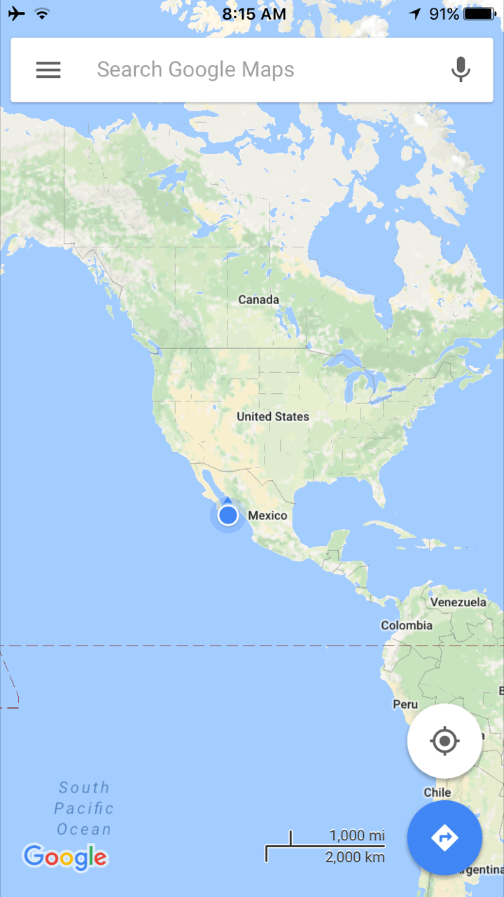
Google Maps App Online & Offline:
Google Maps is free, current, and has an option to download maps into your phone to use when you are not connected to data. “Offline” Click through the options and you will find this handy tool to use. The nice thing is when you choose the offline method, you can then choose to route as a normal GPS and it will give you turn by turn directions. Handy.
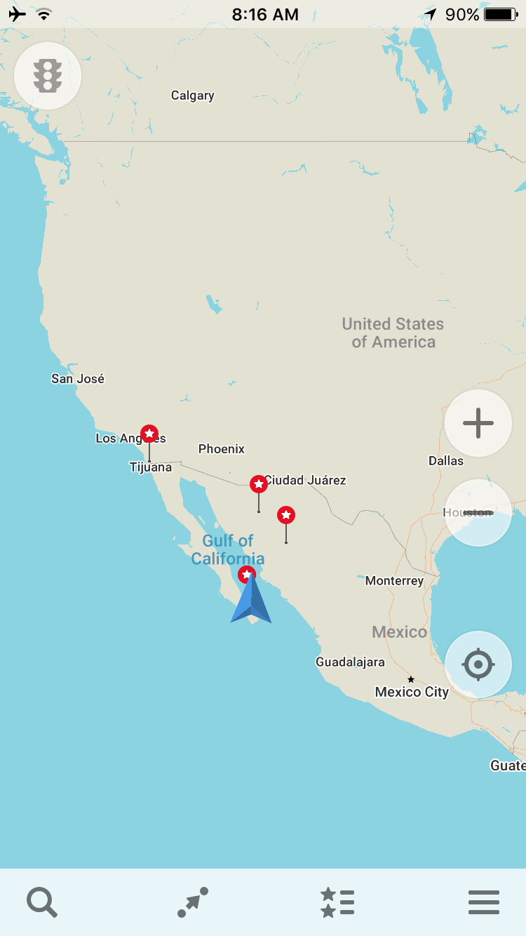
Maps.Me App Online & Offline:
Maps.Me is another free app that works much the same as Google Maps. You can use it offline or online, download maps for certain areas, etc. I like the idea of having two maps on the phone that do the same thing, so just in case I can cross check the roads and routes. I have downloaded offline maps for all of Baja & Mexico mainland for Maps.Me and Google Maps so far. Since these are for offline use, when I am on wifi I will search the location I want to go to “El Nopal Spanish School” save the location to my favourites and I now have access to it when on the bike.
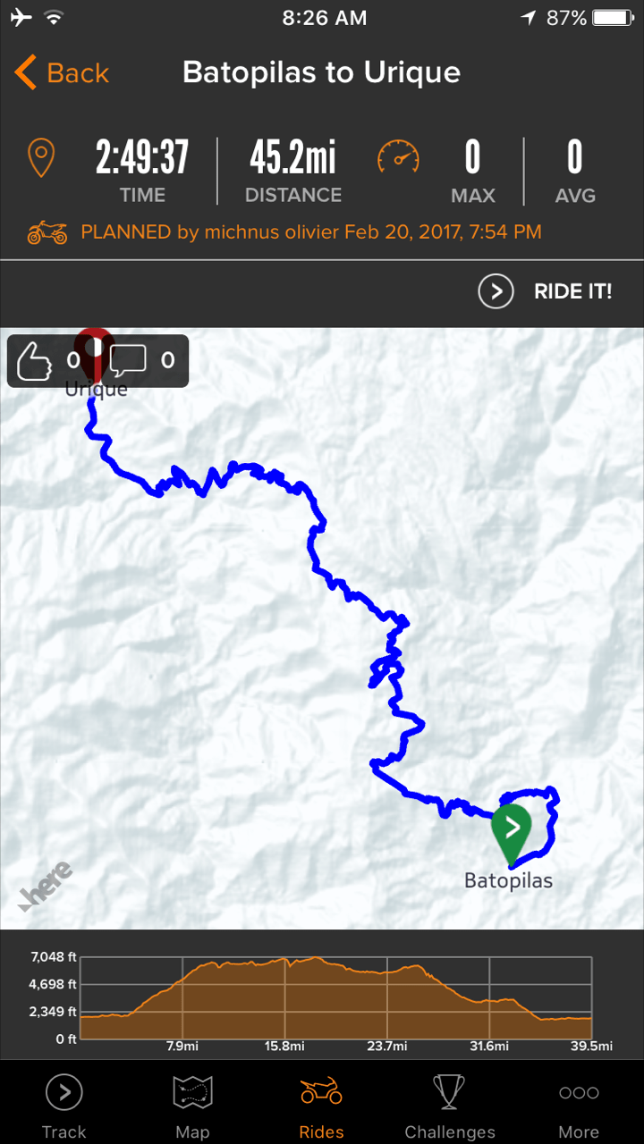
Rever App Online & Offline:
This is a bit different spin on the two above apps. Rever gives us the ability to save and record routes that we have ridden with time, avg time, distance, etc. Once saved, you can send the route to “Friends” inside the app so they can find the route you just rode. Super Awesome… The reason I now have this App is because of Michnus Olivier from @pikipiki_overland_blog. He posted routes on Facebook a few weeks back for Copper Canyon. Next week I will be testing this App out to find these routes. Thanks Michnus ! The thing with this App is it can be free (when you have data) but has a subscription option to download maps for offline use ( $8.49 cdn/ month or $84.99 cdn/ year) I have not upgraded to this yet, but may in the near future. To note, Butler Maps is affiliated with this App so the information should be very strong.
(The routed map displayed is a route that Michnus has ridden and recorded inside the App to share)
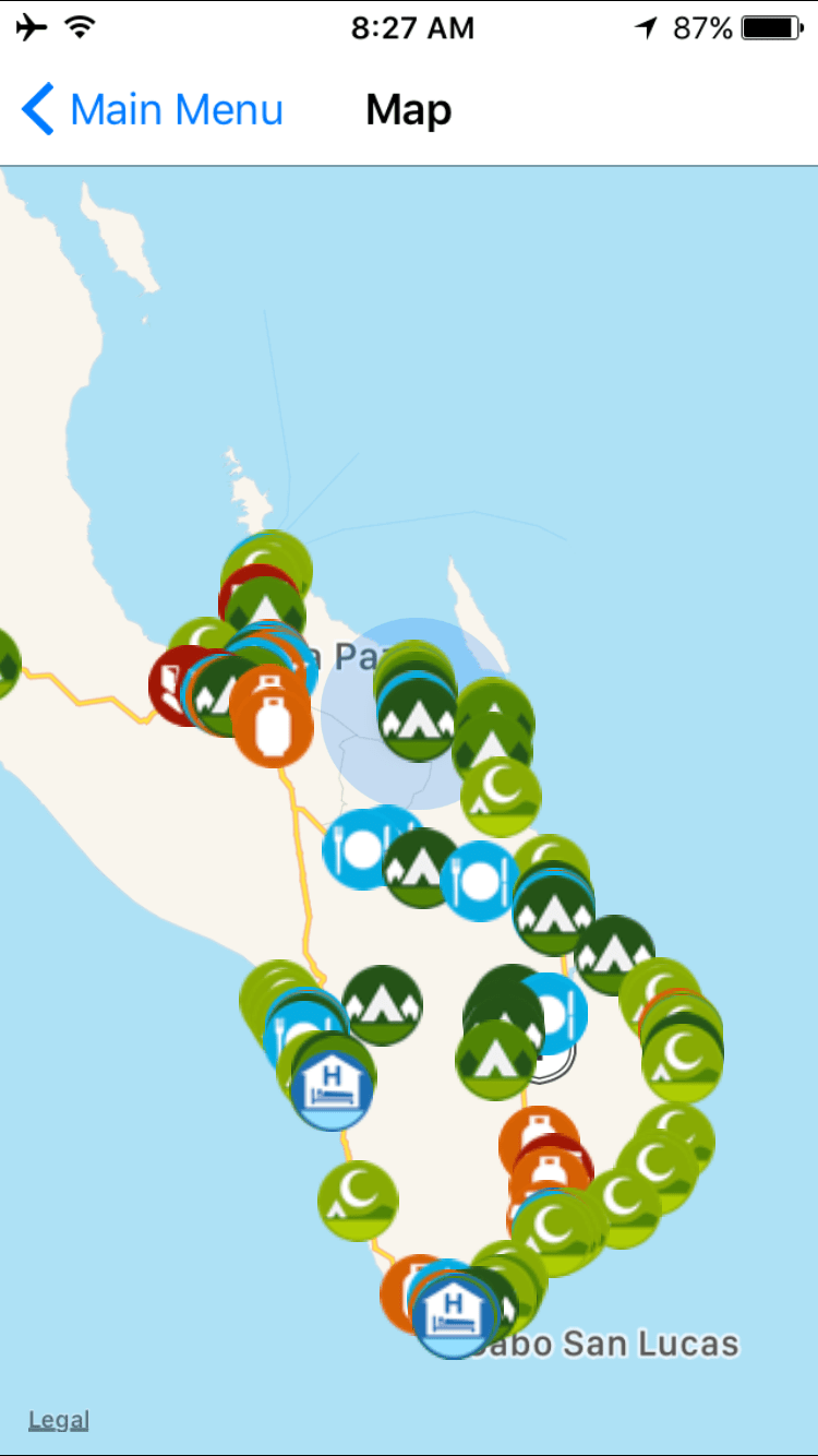
iOverlander App:
This is another spin on the above Map Apps. This app is more of a community based info sharing idea for Overland travellers for campsites. This is quite easy to use. You have an idea of where you want to camp, open the app and quickly do a search for the area. In most cases someone has been there and lists out, toilets, water, views, access info, etc. Another very handy App. Alberto & Naomi gave me the idea to download this App. (Note, you need to have wifi or data for this to work) You can tell that Baja South really sucks for campsites 😉
Spot:
The Spot is not really a tool to route but to send your location to friends and myself to where I have been. The original reason I got this tool was for when I cycled Baja, San Diego to Cabo San Lucas a few years back and my mom was worried. If you do not know much about the Spot tool and you spend time outdoors or in the backcountry I recommend some research. I pay a subscription of about $250 cdn/ year which gives me unlimited messages sent out to a preprogrammed list of people I choose on the Spot website. The message that I send cannot be changed once I am in the backcountry and it emails and texts the people I choose. I try to send out a message in the morning, when I wake up, and send another, when I go to bed (my mothers instructions 😉 ) I also pay for the extra insurance so if I happen to get in an accident, I can hit the SOS button where a helicopter crew is supposed to come and get me. Not sure of how well this will work anywhere besides North America, lets hope I don’t need to test it…


Great overview. We went thru all of it too and settled on SPOT too for documenting our track. Open street maps have an incredible amount of info. Cheers
Sara
LikeLike